More Stories
HIGH RIP CURRENT RISK
The National Weather Service has upgraded the risk for rip currents to high across the South Shore of eastern Suffolk County, with multiple reports of rescues today.

OVERNIGHT
Partly cloudy to mostly clear, with lows in the upper 60s to low 70s into early Saturday morning.
WEEKEND OUTLOOK
Saturday will be the better weekend day. There will be a mix of sun and clouds, with temperatures in the mid-80s, and it will still be humid. It will be dry and decent, but with times of more clouds than sunshine.
Sunday is mostly cloudy. There is the chance for a spotty rain shower in the afternoon and evening, but most of the day is dry until late Sunday night. High temperatures will be in the low 80s and you will still feel the high humidity.
MARINE CONDITIONS
Be careful going into the water at the South Shore beaches with a chance for a lingering elevated rip current risk. There are no posted advisories for boaters for Saturday.

MONDAY: NEXT STORM WATCH DAY?
There is increasing confidence for periods of moderate to heavy rain and a few thunderstorms to arrive Monday morning. For now, plan on Monday being wet, with some dry breaks from time to time. The News 12 Storm Watch Team will keep you updated on Monday's wet weather chance through the weekend on-air, on social media and the News 12 app.

EXTENDED FORECAST
OVERNIGHT: Partly cloudy, warm and muggy with lows in the upper 60s to near 70 into early Saturday morning.
SATURDAY: Partly sunny. Warm and humid. Highs around 84. UV Index: 9 (very high). BOATERS: No advisories. SWIMMERS: Be careful of rip currents at the South Shore beaches. Lows near 69.
SUNDAY: Mostly cloudy, with late-day showers into the evening and overnight. Warm and humid, with highs around 82. Lows near 70.
MONDAY: WEATHER TO WATCH -- Mostly cloudy and breezy, with periods of moderate to heavy rain and a few thunderstorms likely. Highs around 83. Lows near 68.
TUESDAY: Mostly cloudy, with lingering showers likely. Highs around 83. Lows near 67.
WEDNESDAY: Partly sunny, with scattered showers possible. Highs around 84. Lows near 69.
THURSDAY: Sun and clouds. Shower chance. Highs around 82. Lows near 72.
FRIDAY: Sun and clouds. Chance for a shower. Highs around 84. Lows near 72.


LOCAL DROUGHT UPDATE
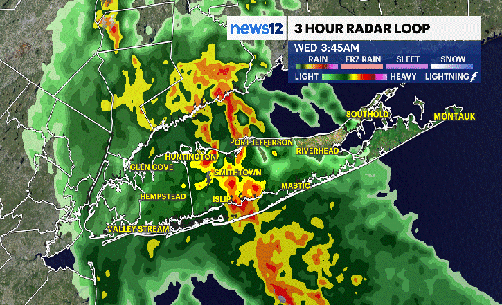
Every Thursday morning, a new update to our local Long Island drought conditions is released. This week, there were not many changes. Most of Long Island is still in a moderate drought. The East End is still in a severe drought. This only takes in data through this past Tuesday. Rain from this Wednesday will be included in next week's update.

LONG ISLAND WATER QUALITY
Every Thursday, we also have a new update on local water quality here on Long Island. Conditions remain generally good to fair, with only six of the 30 sites tested having poor water quality. You can see where those areas are in the images below. It is important to always check with the local county health departments for more information on where swimming is allowed.


More from News 12
1:30

Sun and clouds, warm temperatures for Saturday in the Bronx
1:56

Mix of sun and clouds. warm temperatures on Saturday for western Connecticut
1:46

Showers end this evening ahead of a decent weekend; heavy rain possible Monday for the Hudson Valley
2:19
Sun and clouds, warm temperatures for Saturday in Brooklyn
2:22

Mix of sun and clouds. warm temperatures on Saturday for New Jersey
1:30
