A developing coastal storm will bring a round of wet and windy weather to the tri-state area Tuesday into Wednesday. Rain is expected to develop Tuesday morning and become steadier and heavier as we head through the afternoon and Tuesday night. The storm will also produce strong, gusty winds, especially along the coast.
For Long Island, periods of moderate to heavy rain are expected, along with winds gusting up to 40 mph. The combination of strong onshore winds and rough surf could lead to some beach erosion and coastal flooding, particularly around the times of high tide. Ponding of water on roads and localized poor drainage flooding will also be possible during periods of heavier rain.
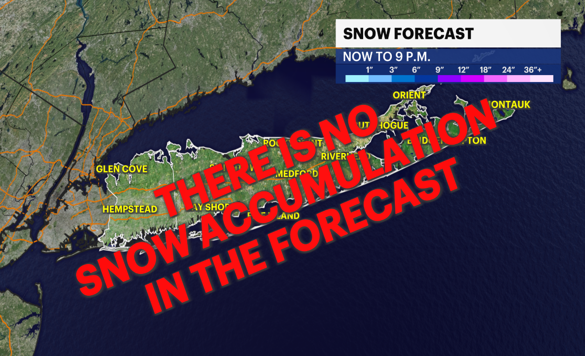
Farther north and west of New York City, colder air will become a bigger part of the storm. Rain is expected to change to snow after about 4 p.m. Tuesday, with accumulating snow possible Tuesday evening and Tuesday night. Areas that remain mainly snow could pick up 3 to 6 inches, with the greatest accumulations favored across the colder locations well north and west of the city.
The coastal storm will begin pulling away Wednesday morning, allowing the rain and snow to taper off from west to east. Conditions should gradually improve through the day, and we could even see some late-day sunshine. Until then, plan on a messy Tuesday and Tuesday night with heavy rain, gusty winds, coastal concerns and accumulating snow for parts of the region.